- TOP
- Search using keywords
- ベーリングの海峡のポート・クラレンスとセニャヴィン海峡の間の水深と水温を示す表.G.ボーヴェ作成/(Diagram, showing the temperature and depth of the water at Behring's Straits between Port Clarence and Senjavin Sound. By G. Bove.)
ベーリングの海峡のポート・クラレンスとセニャヴィン海峡の間の水深と水温を示す表.G.ボーヴェ作成/(Diagram, showing the temperature and depth of the water at Behring's Straits between Port Clarence and Senjavin Sound. By G. Bove.)
![]()

![]()
Related Image
Showing 139 of 57-64 Results (total 18page)
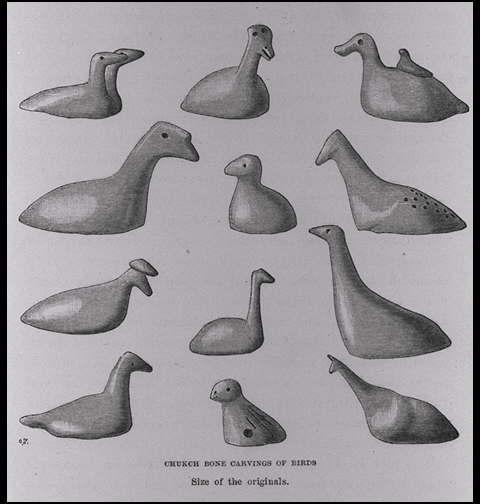
| caption | : | ベーリングの海峡のポート・クラレンスとセニャヴィン海峡の間の水深と水温を示す表.G.ボーヴェ作成/(Diagram, showing the temperature and depth of the water at Behring's Straits between Port Clarence and Senjavin Sound. By G. Bove.) |
| note | : | |
| book title | : | アジアとヨーロッパを回るヴェガ号の航海:旧世界北海岸沿いの以前の旅行の歴史的再検討とともに(ヴェガ号航海誌:1878−1880) 第2巻 |
| author | : | ノルデンシェルド(ノルデンショルド/ノーデンショルド)/(Nordenskiold, A. E. (Adolf Erik), 1832-1901) |
| year | : | 1881 |
| Library Number | : | G/490/No |
| author | : | 000066134 |
| GID | : | GJ002080 |
| PhotoCD no. | : | 90052 |
International Research Center for Japanese Studies 3-2 Oeyama-cho, Goryo, Nishikyo-ku, Kyoto 610-1192 Japan
Copyright (c)2002- International Research Center for Japanese Studies, Kyoto, Japan. All rights reserved.
![]()