- TOP
- キーワードで探す
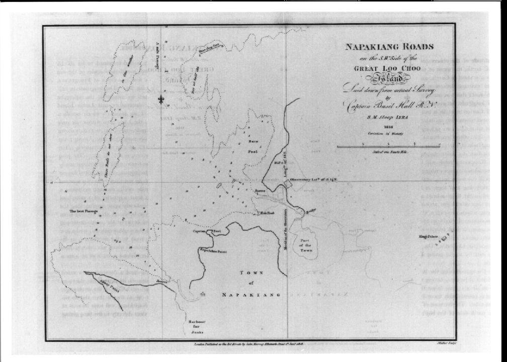
- 大琉球島南西側の那覇港(泊港)錨地,イギリス軍艦スループ帆船ライラ号のイギリス海軍ベイジル・ホール艦長による実際の測量から作られた,1816年/(Napakiang Roads on the S.W. Side of the Great Loo Choo Island Laid down from actual Survey by Captain Basil Hall R.N. H. M. Sloop Lyra. 1816.)
大琉球島南西側の那覇港(泊港)錨地,イギリス軍艦スループ帆船ライラ号のイギリス海軍ベイジル・ホール艦長による実際の測量から作られた,1816年/(Napakiang Roads on the S.W. Side of the Great Loo Choo Island Laid down from actual Survey by Captain Basil Hall R.N. H. M. Sloop Lyra. 1816.)
![]()
関連画像(同一掲載書の他の画像)
全17枚のうち1-8枚を表示 (全3ページ)
| 被写体 | : | 大琉球島南西側の那覇港(泊港)錨地,イギリス軍艦スループ帆船ライラ号のイギリス海軍ベイジル・ホール艦長による実際の測量から作られた,1816年/(Napakiang Roads on the S.W. Side of the Great Loo Choo Island Laid down from actual Survey by Captain Basil Hall R.N. H. M. Sloop Lyra. 1816.) |
| 注記 | : | |
| 掲載書名 | : | 発見の航海記−朝鮮西岸と大琉球島:海図,水路誌,その他の科学的所見に関する付録を含む(朝鮮・琉球航海記:1816年アマースト使節団とともに) |
| 編集者名 | : | ホール/(Hall, Basil, 1788-1844) |
| 年代 | : | 1818 |
| 請求番号 | : | DS/507/Ha |
| 図書ID | : | 000268623 |
| GID | : | GF009014 |
| PhotoCD no. | : |


