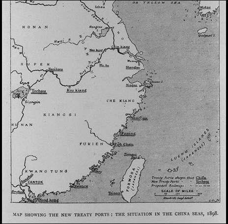
新しい条約港を示している地図:シナ海の状況,1898年/(Map showing the new treaty ports : the situation in the China Seas, 1898.)
  • TOP
  • キーワードで探す
  • 新しい条約港を示している地図:シナ海の状況,1898年/(Map showing the new treaty ports : the situation in the China Seas, 1898.)

新しい条約港を示している地図:シナ海の状況,1898年/(Map showing the new treaty ports : the situation in the China Seas, 1898.)

line01

関連画像(同一掲載書の他の画像)

全90枚のうち17-24枚を表示 (全12ページ)

被写体 新しい条約港を示している地図:シナ海の状況,1898年/(Map showing the new treaty ports : the situation in the China Seas, 1898.)
注記
掲載書名 極東における戦争:ロシア・日本の戦闘(日露戦争)の歴史 1,2巻
編集者名 グルー/(Grew, E. Sharpe)
年代 [190-?]
請求番号 DS/517/Gr
図書ID 000123661
GID GH035026
PhotoCD no. 19079