- TOP
- キーワードで探す
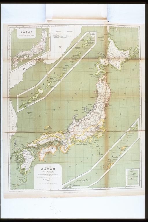
- 日本<大日本>地図.博士J.ライン教授の時代からと,日本とヨーロッパの地図によって,J.リッタウによって計画作図された,1880年(地図).1876年の区分による県別日本地図/(Map of Japan (Dai-Nippon). Designed and drawn from the date of Prof. Dr. J. Rein, and after Japanese and European maps by J. Rittau, 1880. Japan, according to the division of 1876.)
日本<大日本>地図.博士J.ライン教授の時代からと,日本とヨーロッパの地図によって,J.リッタウによって計画作図された,1880年(地図).1876年の区分による県別日本地図/(Map of Japan (Dai-Nippon). Designed and drawn from the date of Prof. Dr. J. Rein, and after Japanese and European maps by J. Rittau, 1880. Japan, according to the division of 1876.)


関連画像(同一掲載書の他の画像)
全27枚のうち25-27枚を表示 (全4ページ)
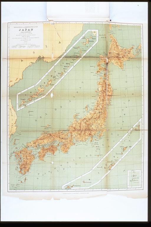


| 被写体 | : | 日本<大日本>地図.博士J.ライン教授の時代からと,日本とヨーロッパの地図によって,J.リッタウによって計画作図された,1880年(地図).1876年の区分による県別日本地図/(Map of Japan (Dai-Nippon). Designed and drawn from the date of Prof. Dr. J. Rein, and after Japanese and European maps by J. Rittau, 1880. Japan, according to the division of 1876.) |
| 注記 | : | |
| 掲載書名 | : | 日本:紀行と研究:プロイセン政府の費用で請け負われた |
| 編集者名 | : | ライン/(Rein, J. J., 1835-1918) |
| 年代 | : | 1888 |
| 請求番号 | : | DS/809/Re |
| 図書ID | : | 000365247 |
| GID | : | GN026027 |
| PhotoCD no. | : | C037074 |


国際日本文化研究センター 〒610-1192 京都市西京区御陵大枝山町3丁目2番地
Copyright (c)2002- International Research Center for Japanese Studies, Kyoto, Japan. All rights reserved.