- TOP
- キーワードで探す
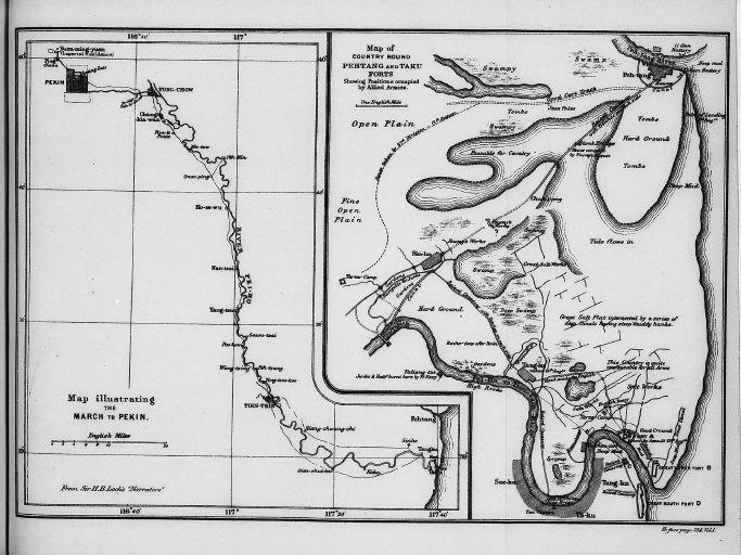
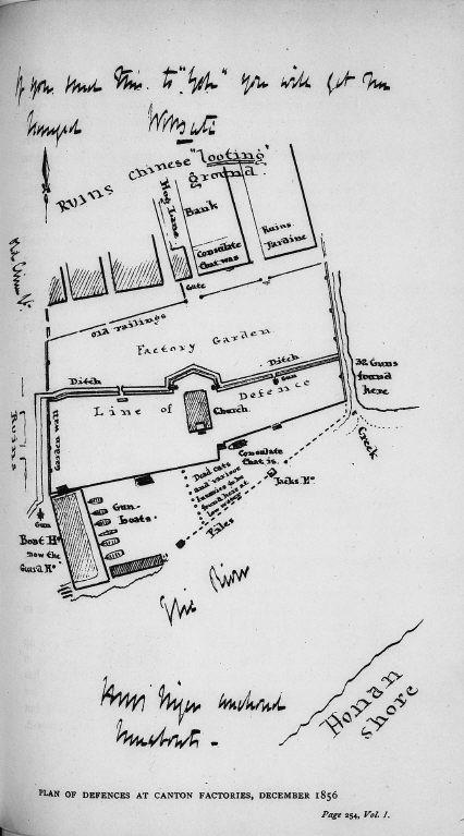
- 北京への行軍を説明する地図.連合軍の占領情勢を説明している北塘と大沽要塞あたりの地図/(Map illustrating the March to Pekin. Map of country round Pehtang and Taku forts showing positions occupied by Allied Armies.)
北京への行軍を説明する地図.連合軍の占領情勢を説明している北塘と大沽要塞あたりの地図/(Map illustrating the March to Pekin. Map of country round Pehtang and Taku forts showing positions occupied by Allied Armies.)


関連画像(同一掲載書の他の画像)
全5枚のうち1-5枚を表示 (全1ページ)
| 
| 
| 
|
|
|
| 被写体 | : | 北京への行軍を説明する地図.連合軍の占領情勢を説明している北塘と大沽要塞あたりの地図/(Map illustrating the March to Pekin. Map of country round Pehtang and Taku forts showing positions occupied by Allied Armies.) |
| 注記 | : | |
| 掲載書名 | : | 中国領事 |
| 編集者名 | : | レーン・プール/(Lane-Poole, Stanley, 1854-1931) |
| 年代 | : | 1894 |
| 請求番号 | : | DA/565/Li |
| 図書ID | : | 001780063 |
| GID | : | GO035005 |
| PhotoCD no. | : | 374 |


国際日本文化研究センター 〒610-1192 京都市西京区御陵大枝山町3丁目2番地
Copyright (c)2002- International Research Center for Japanese Studies, Kyoto, Japan. All rights reserved.